Welcome to the Summit County Skywarn Page!.. Skywarn Operational Frequencies are 146.640 (-) as main frequency and 147.270(+) is the backup! If both are down, simplex 146.640 is the last resort...
When Skywarn is activated, we operate as K8SCS on the 146.640(-) PL 110.9 Repeater. Our Backup is the 147.270(+) PL 110.9 Repeater. If both are down, we will return to 146.640 and operate on simplex.
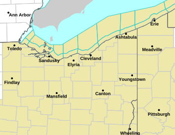
1 Day Outlook
2 Day Outlook
3 Day Outlook
Current Meso's
Our Mission Statement
Summit County Skywarn is committed to assisting the National Weather Service (Cleveland) by gathering severe weather "ground truth" observations and reports, utilizing amateur radio and all other means necessary to obtain accurate and timely information in Summit County, Ohio and supplying this information to the National Weather Service.
You don't have to be an Amateur Radio Operator to listen in on a Skywarn Net, just click the app on the left and see what goes on in the World of "Ham Radio"
Even if there is no severe weather going on, you can still get a peek of what goes on in the "Ham World" by clicking the button on the app. The repeaters are running 24 / 7 with lots of activity to hear. So, C'mon! Don't be shy! Click the button!